Austria
Physical Geography
Total Area: 83,871 sq km
Land Area: 82,445 sq km
Water Area: 1,426 sq km
Size in comparison to the United States: Austria is slightly smaller than Maine.
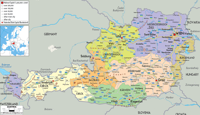
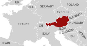
Bordering Countries: Czech Republic, Germany, Slovenia, Hungary, Slovakia, Switzerland, Italy, and Liechtenstein all border Austria.
Total distance of land borders: 2,562 km
Total distance of coastline: 0 km
Description of climate: Cold winters with much precipitation; moderate summers with occasional rain.
Description of terrain: Terrain in the southwest is rocky, mountainous, and is part of the Alps. The northeast of the country is much flatter.
Point of lowest elevation: Neusiedler (115 meters)
Point of highest elevation: Glossglockner (3798 meters)
Land Area: 82,445 sq km
Water Area: 1,426 sq km
Size in comparison to the United States: Austria is slightly smaller than Maine.
Bordering Countries: Czech Republic, Germany, Slovenia, Hungary, Slovakia, Switzerland, Italy, and Liechtenstein all border Austria.
Total distance of land borders: 2,562 km
Total distance of coastline: 0 km
Description of climate: Cold winters with much precipitation; moderate summers with occasional rain.
Description of terrain: Terrain in the southwest is rocky, mountainous, and is part of the Alps. The northeast of the country is much flatter.
Point of lowest elevation: Neusiedler (115 meters)
Point of highest elevation: Glossglockner (3798 meters)